Luxembourg City Map Coloring Page
A4 at 300 dpi · A3 PDF available · Portrait
About the illustration
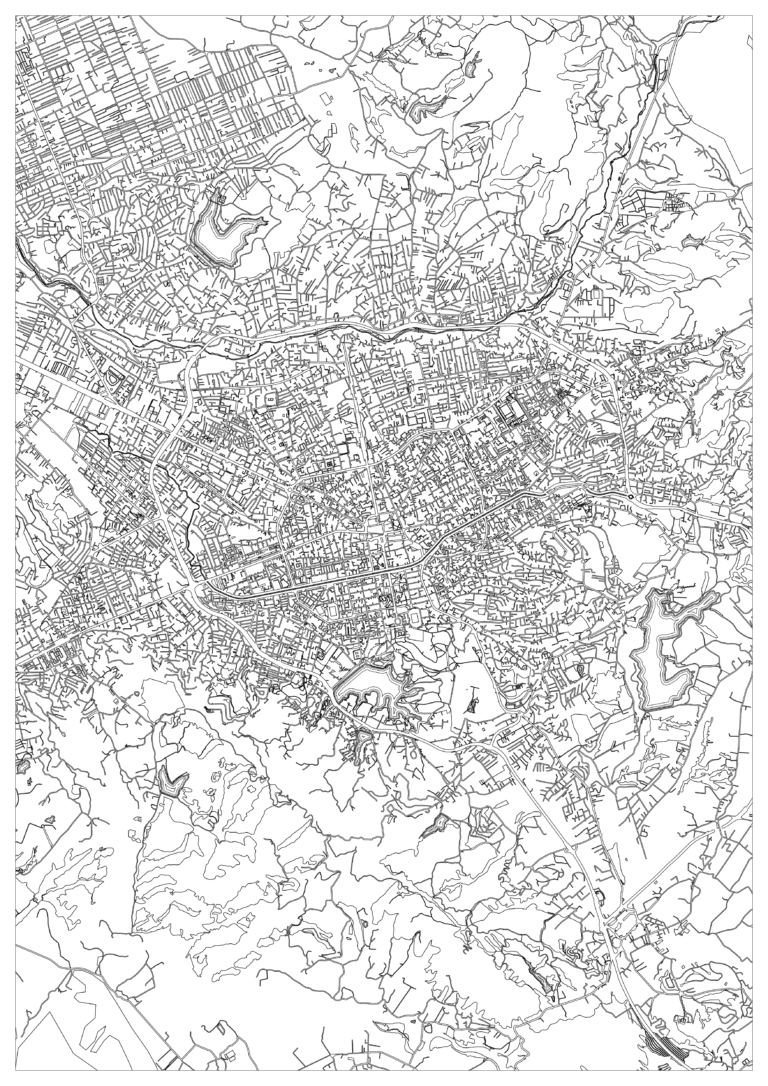
This Luxembourg City map coloring page is an extreme coloring challenge at the highest difficulty level: 5 · Expert. Its fine linework and many small enclosed spaces reward patience, a sharp pencil and an unhurried approach.
Explore the map
The illustration shows a compact urban center threaded through steep, branching valleys and contour-like hillside shapes, with winding roads and larger surrounding plots. Follow the larger shapes first, then discover the smaller streets and plots nested between them. The map is made for creative coloring and is a decorative interpretation, so its layout and details may differ from the real place.
How to color this map
Build the valley slopes in alternating olive, sage and deep green. Add ochre, salmon and terracotta to the built-up plots, use blue-green sparingly for the watercourses, and leave the winding main roads light. The included colored example shows one possible palette, not a required answer. Work from broad areas toward the smallest shapes; fine-tip pencils or pens help keep adjacent sections distinct. Test colors on scrap paper before adding a darker layer, and print the blank original when you want a fresh attempt.
A note about the artwork
Qolorio coloring pages are made for creative enjoyment. We may use AI assistance when developing illustrations, and artwork can simplify or invent details. If you use a page to learn about a real subject, please check important details against a reliable source.
 Tirana Map Coloring Page
 Rosario Map Coloring Page
 Riga Map Coloring Page
 Lima Map Coloring Page